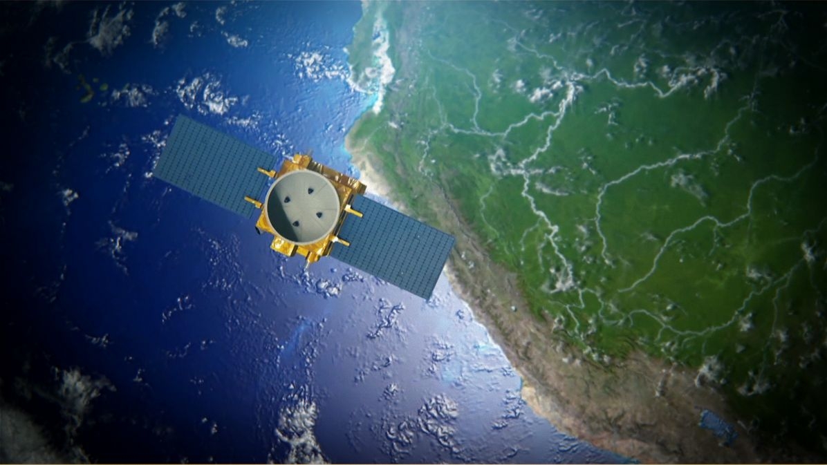
PerúSAT-1 has delivered more than 71,000 images for more than 80 organisations
PerúSAT-1 has completed its first year of operation and the Peruvian government has recently declared that in that time, the investment it has made into the satellite programme has already been recouped. The Earth observation satellite, built by Airbus in a record time of only two years, has acquired more than 71,000 images which have been delivered to more than 80 organisations across Peru. Peruvian specialists from the National Satellite Image Operation Centre (CNOIS) located in Pucusana, near Lima, have been in control of the satellite since handover from Airbus on December 7th, 2016. PerúSAT-1 is the most advanced satellite in the region.
The Earth observation satellite system PerúSAT-1 provides very high resolution imagery for multiple applications, including security and defence, agriculture, mining, illegal deforestation, risk prevention, mapping, urban planning, land use, ecological economy zoning, countering drug trafficking, among others. The satellite system includes a next-generation satellite, with optical sub-metric resolution of 70 centimetres and a design lifetime of 10 years. It also includes the construction of the CNOIS as the Satellite Control Centre and the processing and management of the images acquired. In addition the system encompassed a technology transfer programme and preparation comprehensive training for the team that operates the satellite today.
PerúSAT-1 embeds technologies that combine readiness and performance; it has been designed to carry out diverse Earth observation missions for monitoring and better managing the environment. All these technologies are employed to serve the needs of Peru. Thus the satellite system provides Peru with a sovereign capacity and plays a key role in providing the benefits of space to its citizens.
Peru’s Space Agency (CONIDA) has been collaborating and working in coordination with many state institutions that receive the satellite images and developed products that benefit people’s everyday lives. Current activities include:
The PerúSAT-1 satellite, built by Airbus, is the first of its kind to be delivered in a record time. It took less than two years from commissioning to delivery. Based on the AstroBus-S platform used in the new generation of high performance satellites, it is designed for a lifetime of 10 years.
PerúSAT-1 in numbers:
70 cm Resolution
10 years lifetime
Only 2 years to build, a record
71,000 images in the first year of operation
15 million km2 of the Earth surface already imaged
14 months in orbit, more than 6,300 revolutions around the planet
Imagery used by more than 80 Peruvian organisations for more than 20 different applications
FL Technics Indonesia, the first MRO in Indonesia to be appointed as a GE Aerospace avionics support partner, has signed a service support agreement with GE Aerospace covering Boeing 737 and Airbus A3...
British Airways has unveiled the next phase of its Heathrow lounge transformation programme, marking the beginning of a significant investment aimed at modernising every lounge across the airport in t...
The International Aircraft Dealers Association (IADA) has released its 2026-2027 Current Market Portrait & Forecast, offering an in-depth analysis of the global preowned business av...
Emirates has officially inaugurated services to Helsinki, marking a significant milestone in connectivity between Finland and the United Arab Emirates. The new daily route is the only year-r...