Jeppesen, a Boeing Company, has worked closely with the pilot community and leading experts to enhance its SID (standard instrument departure) and STAR (standard terminal arrival route) charts to increase situational awareness and reduce 'head-down' time while referencing chart information.
"Over the past two years, we have teamed with pilots and experts in human factors to create a new industry standard with Jeppesen SID/STAR chart design and interaction," said Mike Abbott, director, Jeppesen Data Solutions Product & Portfolio Management. "This significant change to our charts make them easier to read, reduces the likelihood of violating altitude and speed restrictions and improves the user experience with both mobile and installed electronic flight bag (EFB) platforms."
The new worldwide IFR (instrument flight rules) charts will be introduced over time, starting this December for airports in Europe and the U.S. The chart enhancements are designed to help pilots increase safety in flight and raise awareness of both physical obstacles and dangers and the regulatory environment for each procedure.
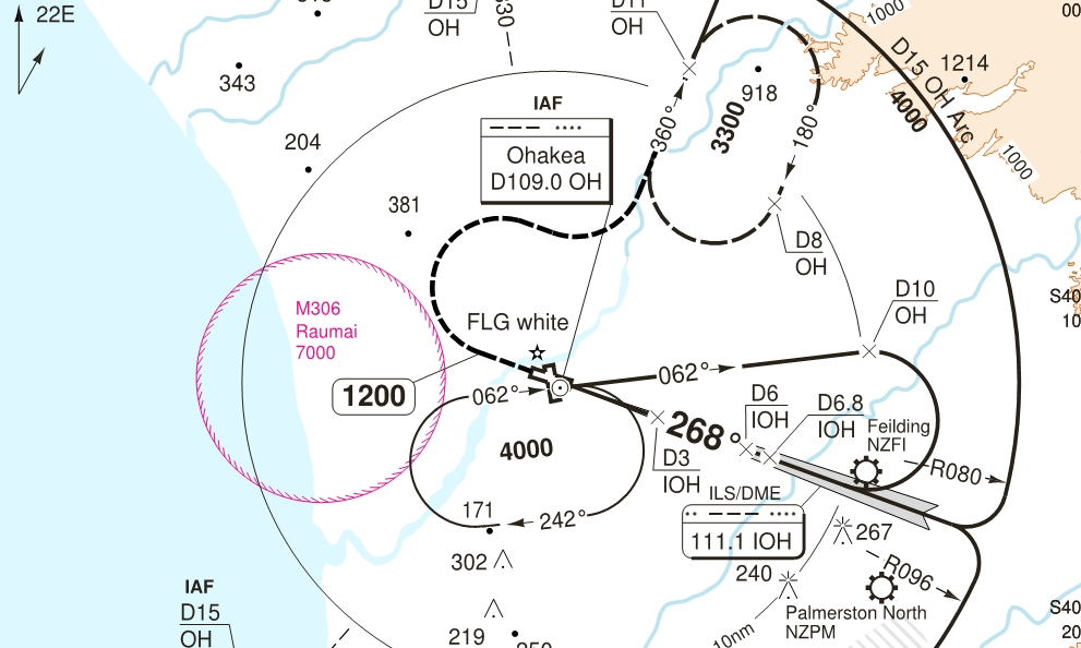
Specifically, key enhancements made to Jeppesen IFR arrival and departure charts include the addition of terrain, distinctive use of color to identify important features at a glance and true to scale depiction of chart elements. The new chart design features blue coding of altitude and magenta coloring of speed restriction details, to simplify recognition of essential arrival and departure elements.
Overall, 10 enhancements will be included in the new Jeppesen charts, including the addition of MSAs (minimum sector altitudes) within the plan view of the chart to provide a minimum clearance of objects near the airport and grid MORAs (minimum off route altitudes), providing obstacle clearance altitude within a certain longitude and latitude grid on the chart.
Jeppesen charts are derived from a comprehensive aviation database that contains more than one million records, and employs multiple stages to assure quality. Jeppesen continually takes in "source" data collected from the world's more than 220 Air Navigation Service Providers and refines and synthesizes the widely varying forms of critical data into a singular chart format. Jeppesen flight information analysts edit and verify thousands of database transactions during each International Civil Aviation Organization (ICAO) 28-day revision cycle.


British Airways has unveiled the next phase of its Heathrow lounge transformation programme, marking the beginning of a significant investment aimed at modernising every lounge across the airport in t...
Emirates has officially inaugurated services to Helsinki, marking a significant milestone in connectivity between Finland and the United Arab Emirates. The new daily route is the only year-r...
UH-60 Black Hawk helicopters operated by Helicopter Alliance played a vital role in combating wildfires across Central and Southern Europe during the aerial firefighting season that has now concluded....
Skandia’s King Air 200/300 soundproofing kit has received final approval from Brazil’s ANAC, opening the door for wider adoption among operators across the country. The certifica...